The Largest Curatorial Library
With Apps Charts And Graphs

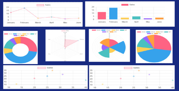
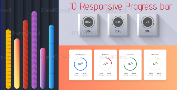
Chart | Modern Chart

Chart | Modern Chart

How to use a single chart: 1.unzip main_file and open index.html and chart.js file in your device 2. Now find the number chart that you want to use. For example 2.1 Chart number 6. 2.2 Now you find it in the html file comment number 6 2.3 Now 2 Now you find it in the html file 2.4 Again they upload your html and js files. (You can also put the js code in html if you want.it should be placed inside <script ></script>.) 2.5 If you want to change the color. Then change the backgroundColor of your desired chart in the chart js file 3.open your cpanel click file manager and goto your domain or subdomain filr and paste this code this way

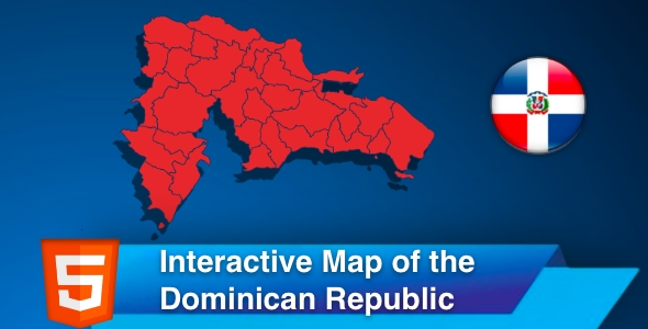
Interactive Map of the Dominican Republic

Interactive Map of the Dominican Republic

The interactive map of the Dominican Republic is a Scalable Vector Graphics (SVG) template containing all thirty-one provinces plus all three islands. The map is clickable and responsive, with regions popup on hover. The template gives you an easy way to install and customize a professional looking. You can embed the map in your website, link each region/city to any webpage, or make a hover popup with information. You can easily copy and paste the code to your website.

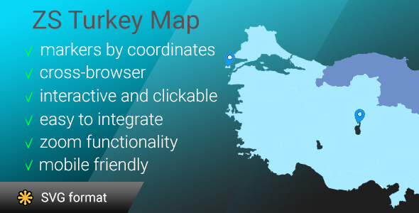
ZS Turkey map

ZS Turkey map

ZS Turkey map is a most detailed svg Turkey map! This map contains a lot of islands, limits are neats and very detailed! In this version you have possibility to easely set markers with information you will see at infobox (as on google maps or mapbox). regions also have possibility to display infobox. The interactive template of the Turkey map gives you an easy way to install and customize a professional looking interactive map with all regions. If you need to show only one region you can easely disable all another paths (remove them manually or with one line of code) and select map center and initial zoom.

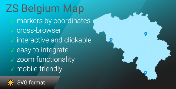
ZS Belgium map

ZS Belgium map

ZS Belgium map is a most detailed svg Belgium map! This map contains a lot of islands, limits are neats and very detailed! In this version you have possibility to easely set markers with information you will see at infobox (as on google maps or mapbox). regions also have possibility to display infobox. The interactive template of the Belgium map gives you an easy way to install and customize a professional looking interactive map with all regions. If you need to show only one region you can easely disable all another paths (remove them manually or with one line of code) and select map center and initial zoom.

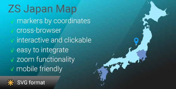
ZS Japan Map

ZS Japan Map

ZS Japan map is a most detailed svg Japan map! This map contains a lot of islands, limits are neats and very detailed! In this version you have possibility to easely set markers with information you will see at infobox (as on google maps or mapbox). regions also have possibility to display infobox. The interactive template of the Japan map gives you an easy way to install and customize a professional looking interactive map with all regions. If you need to show only one region you can easely disable all another paths (remove them manually or with one line of code) and select map center and initial zoom.

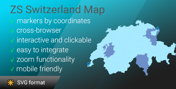
ZS Switzerland map

ZS Switzerland map

ZS Switzerland map is a most detailed svg Switzerland map! This map contains a lot of islands, limits are neats and very detailed! In this version you have possibility to easely set markers with information you will see at infobox (as on google maps or mapbox). regions also have possibility to display infobox. The interactive template of the Switzerland map gives you an easy way to install and customize a professional looking interactive map with all regions. If you need to show only one region you can easely disable all another paths (remove them manually or with one line of code) and select map center and initial zoom.

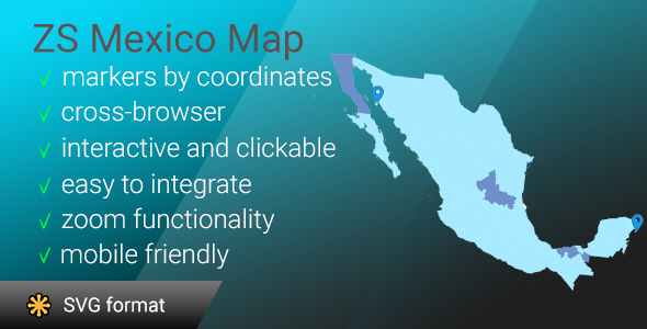
ZS Mexico map

ZS Mexico map

ZS Mexico map is a most detailed svg Mexico map! This map contains a lot of islands, limits are neats and very detailed! In this version you have possibility to easely set markers with information you will see at infobox (as on google maps or mapbox). regions also have possibility to display infobox. The interactive template of the Mexico map gives you an easy way to install and customize a professional looking interactive map with all regions. If you need to show only one region you can easely disable all another paths (remove them manually or with one line of code) and select map center and initial zoom.